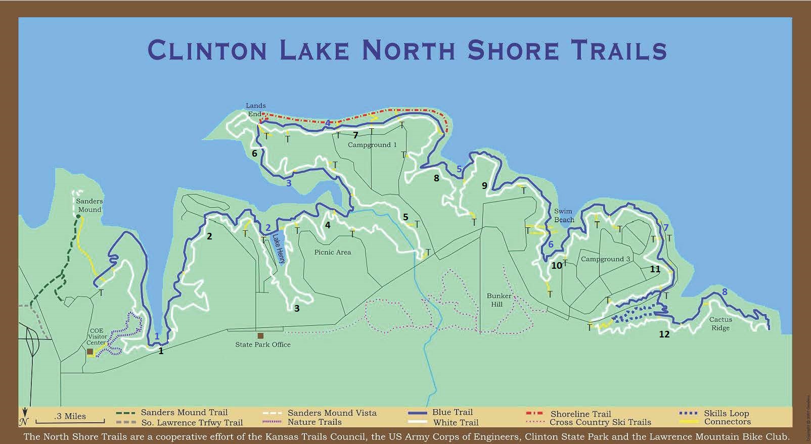
Description: Clinton Lake State Park is a U.S. Army Corps of Engineers park just to the west of the Lawrence City limits. Trails are maintained in coordination with the Kansas Trails Council and the LMBC. Although there are park fees for driving access, lake access and camping, the trail head for biking is in the “free” side of the park, northeast of the lake. There are many miles of well maintained trails for all skill levels. In general, the “white” trail is more difficult, while the “blue” trail is easier.
Location: The entrance to Clinton Lake’s public access park and the trail head are at the end of Clinton parkway, just north of the Clinton Lake Dam on East 900 Road. Check Google Maps for interactive driving directions.
Directions: From Lawrence, head west on Clinton Parkway. At the end of Clinton Parkway, pass under the South Lawrence Trafficway, and turn right (north) at the T-intersection with Douglas County Road 920. Take the first entrance on your left (west) into the park. Follow the access road south towards the lake. The trail head is at the treeline at the end of the first parking lot on the right past the US Army Corps of Engineers Park building.
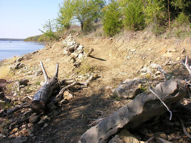
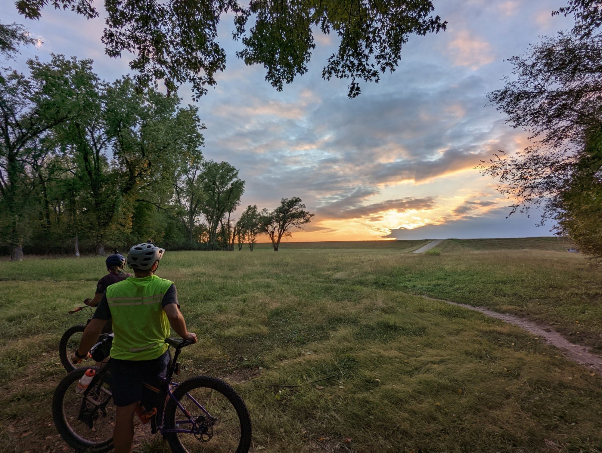
Clinton Shoreline Trail